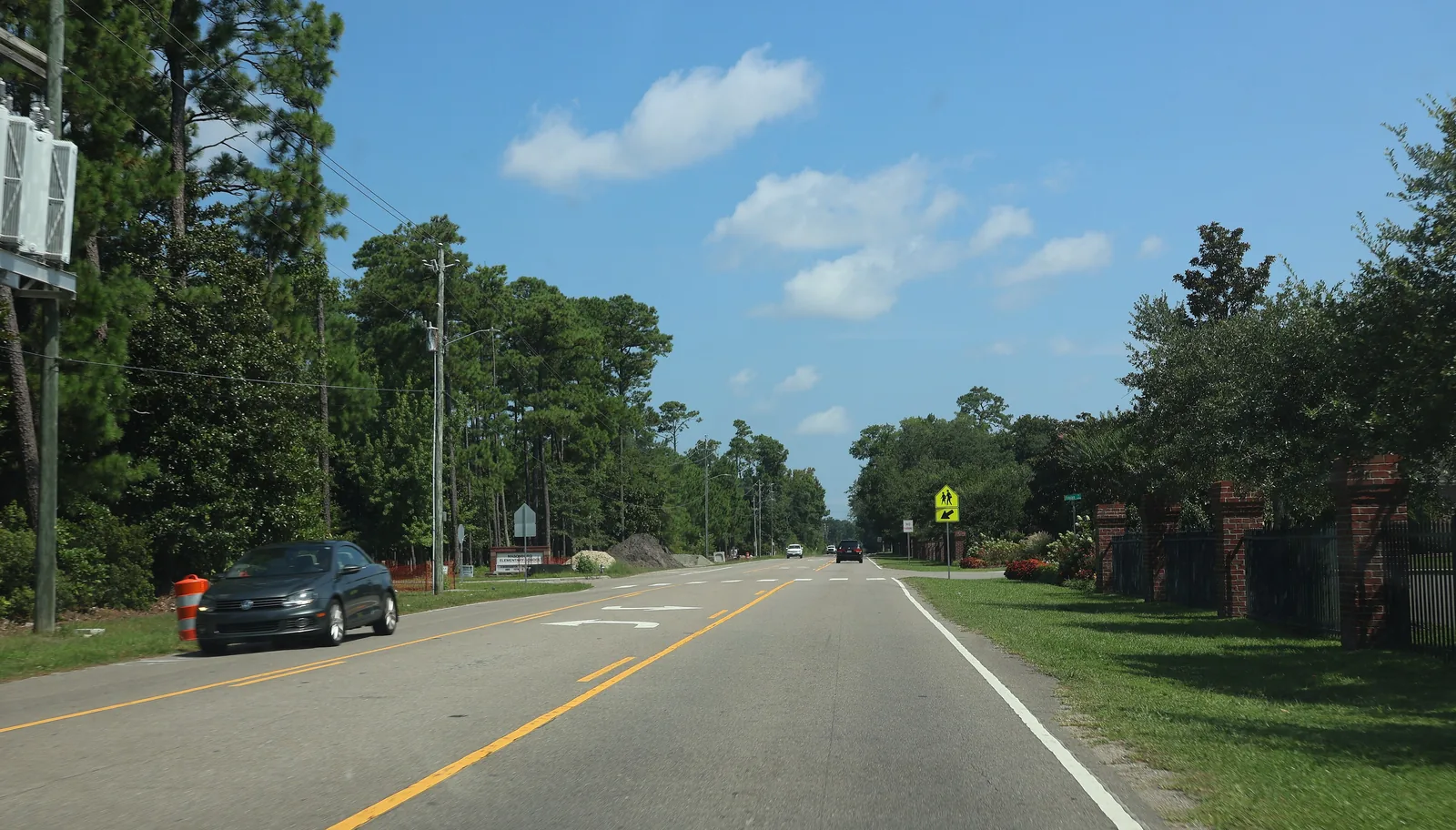
Masonboro is a 1,506-acre area of single-family homes on Masonboro Sound in ZIP code 28409, zoned for Masonboro Elementary and Hoggard High.
Last checked Oct. 11, 2026. Sources: the City of Wilmington’s neighborhood planning areas and historic districts map layers, New Hanover County’s address points, New Hanover County Schools’ School Locator, the N.C. Department of Public Instruction’s 2025-26 school test data, the Zillow Home Value Index (Zillow Research), New Hanover County’s 2025 Wave Transit map and © OpenStreetMap contributors.
Masonboro is the city’s southeastern edge on Masonboro Sound: almost entirely single-family homes on streets off Masonboro Sound Road and Masonboro Loop Road. On the city’s planning map it is the Masonboro planning area, about 1,506 acres, and OpenStreetMap names Masonboro as a place there.
What this means for you
- Zoned high school: John T. Hoggard High for every residential address. Check an exact address with the district’s School Locator.
- Home value: $513,664 in ZIP code 28409 in August 2026, according to the Zillow Home Value Index.
- Nearest interstate: I-40 exit 420, where the interstate meets College Road, about 7.8 miles by road.
Part of our Wilmington neighborhoods guide.
Where it is
The city’s planning map lists Pirates Cove, Windward Oaks, Whispering Pines, Whiskey Creek, Wind Chase, Between the Creeks, Magnolia Plantation, Mason Bend, Oyster Bay, Cliffside, Cove Point, Shorewood Hills and Halcyon Forest inside the planning area. By New Hanover County’s address points, Masonboro Sound Road has the most homes, followed by Orchard Trace, Mason Port Drive, Finian Drive, Dunmore Road and Buccaneer Road.
Part of the Masonboro Sound Historic District, listed on the National Register of Historic Places and described on the city’s historic districts layer as a 19th and 20th century soundside resort, is inside the area; it covers 101 of its residential addresses.
The county’s address points show 1,335 residential addresses: 1,273 single homes, 12 units in multi-unit buildings and 50 addresses on vacant lots. All are in ZIP code 28409.
Schools
We checked every residential address in the planning area against the zone map behind New Hanover County Schools’ School Locator on Oct. 11, and spot-checked addresses against the district’s 2026 zone maps. Results are the share of state tests at grade level in 2025-26, from the N.C. Department of Public Instruction.
| Level | Zoned school | Addresses | Tests at grade level, 2025-26 |
|---|---|---|---|
| Elementary | Masonboro Elementary, 3518 Masonboro Loop Road | 1,335 of 1,335 | 88.3% |
| Middle | Roland-Grise Middle, 4412 Lake Ave. | 1,335 of 1,335 | 67.9% |
| High | John T. Hoggard High, 4305 Shipyard Blvd. | 1,335 of 1,335 | 69.8% |
Statewide, 59.1% of end-of-grade tests and 59.6% of end-of-course tests were at grade level. Each school name links to its NC School Report Card. More in our schools guide.
Home values
Zillow’s typical home value in ZIP code 28409 was $513,664 in August 2026, up 0.5% from $511,058 a year earlier, according to the Zillow Home Value Index. The index is a modeled typical value for the middle third of homes, houses and condos together, not a sale price. ZIP code 28409 also covers homes outside the city limits. Zillow’s figure for Wilmington as a whole was $419,038, down 0.1%. More in our home prices guide.
Parks and trails
The city’s parks layer shows no city park inside the planning area. See our parks and trails guide for the nearest ones.
Getting around
- Roads: Masonboro Loop Road and Masonboro Sound Road are the main roads.
- I-40: exit 420 is about 7.8 miles by road.
- Downtown and City Hall: about 7.8 miles.
- Wilmington International Airport: about 12.8 miles. Distances are measured on the OpenStreetMap road network with the OSRM routing engine from the middle of the area’s homes; they are distances, not drive times.
- Bus: the county’s 2025 Wave Transit map shows no fixed route running through the area. Check Wave Transit at 910-343-0106 for service near an address. More in our getting around guide.
Groceries and everyday stores
OpenStreetMap lists no supermarket or pharmacy inside the area. The closest include Tidal Creek Co-op, 5329 Oleander Drive, about 1.1 miles north of the area’s edge in a straight line, and Aldi, 3701 S. College Road, about 1.6 miles west.
How we drew this area
This page follows the Masonboro boundary on the City of Wilmington’s neighborhood planning areas map, which covers the part of Masonboro inside the city limits. Home counts and ZIP codes come from New Hanover County’s address points inside that boundary. Road distances and store locations use © OpenStreetMap contributors.
Frequently asked questions
What schools is Masonboro in Wilmington zoned for?
All 1,335 residential addresses in the city’s Masonboro planning area are zoned for Masonboro Elementary, Roland-Grise Middle and John T. Hoggard High, according to New Hanover County Schools’ zone map.
What ZIP code is Masonboro?
- Every residential address in the city’s Masonboro planning area is in that ZIP code, according to New Hanover County’s address records.
Is Masonboro a good place to live?
Here are the facts. Masonboro is a 1,506-acre area of single-family homes on Masonboro Sound, zoned for Masonboro Elementary, where 88.3% of state tests were at grade level in 2025-26, and Hoggard High. The typical home value in ZIP code 28409 was $513,664 in August 2026, according to Zillow.
Is all of Masonboro inside Wilmington?
No. This guide covers the city’s Masonboro planning area, which is inside the city limits. Other homes that use the Masonboro name are in unincorporated New Hanover County; the county’s parcel search shows which side of the line an address is on.
Have your say