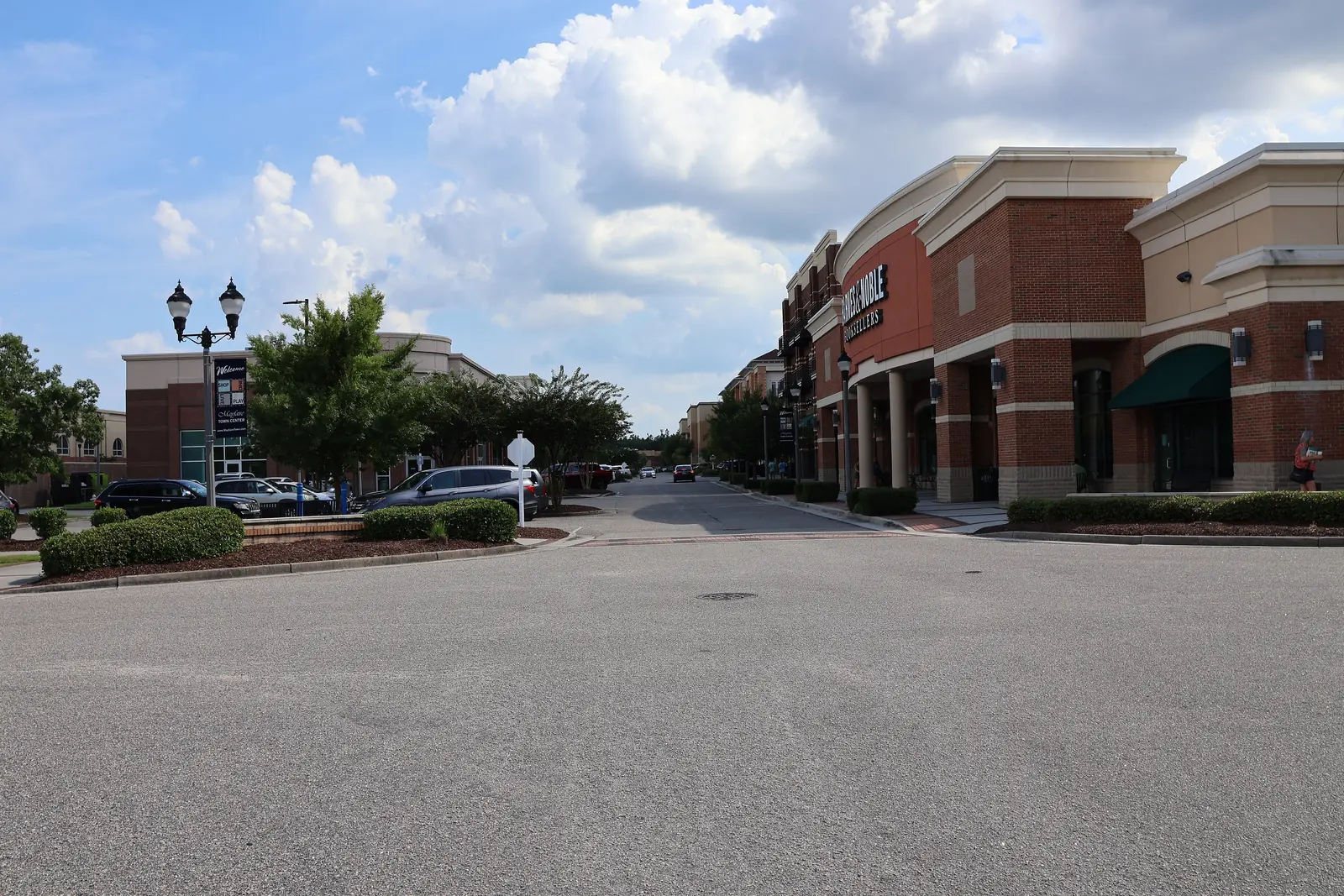
The Mayfaire planning area is 476 acres around the Mayfaire shopping district in ZIP code 28405, with 1,249 homes, most of them apartments and condos.
Last checked Oct. 11, 2026. Sources: the City of Wilmington’s neighborhood planning areas and parks map layers, New Hanover County’s address points, New Hanover County Schools’ School Locator, the N.C. Department of Public Instruction’s 2025-26 school test data, the Zillow Home Value Index (Zillow Research), New Hanover County’s 2025 Wave Transit map and © OpenStreetMap contributors.
Mayfaire is best known as a shopping district on Military Cutoff Road and Eastwood Road, but the city’s Mayfaire planning area, about 476 acres, also holds more than 1,200 homes, most of them in apartment and condo complexes around the stores. This page covers the homes and everyday life in that planning area.
What this means for you
- Zoned high school: New Hanover High for every residential address. Check an exact address with the district’s School Locator.
- Home value: $375,126 in ZIP code 28405 in August 2026, according to the Zillow Home Value Index.
- Nearest interstate: I-40 exit 420, where the interstate meets College Road, about 4.3 miles by road.
Part of our Wilmington neighborhoods guide.
Where it is
By New Hanover County’s address points, the streets with the most homes are Center Point Drive, Cavalier Drive, Parkview Circle, Preservation Way, Main Street, Village Park Drive, Chalfont Circle and Mayfaire Club Drive. Landfall is next door to the east, and the city’s Windemere/Longleaf Acres planning area, which lists Windemere, Longleaf Acres, Inland Greens and Northwood among its neighborhoods, is to the west.
The county’s address points show 1,249 residential addresses: 1,083 units in apartment and condo complexes, 165 single homes and one address on a vacant lot. All are in ZIP code 28405.
Schools
We checked every residential address in the planning area against the zone map behind New Hanover County Schools’ School Locator on Oct. 11, and spot-checked addresses against the district’s 2026 zone maps. Results are the share of state tests at grade level in 2025-26, from the N.C. Department of Public Instruction.
| Level | Zoned school | Addresses | Tests at grade level, 2025-26 |
|---|---|---|---|
| Elementary | John J. Blair Elementary, 6510 Market St. | 1,249 of 1,249 | 52.1% |
| Middle | M.C.S. Noble Middle, 6520 Market St. | 1,249 of 1,249 | 66.8% |
| High | New Hanover High, 1307 Market St. | 1,249 of 1,249 | 43.6% |
The neighboring Windemere/Longleaf Acres planning area is zoned for the same three schools in our check. Statewide, 59.1% of end-of-grade tests and 59.6% of end-of-course tests were at grade level. Each school name links to its NC School Report Card. More in our schools guide.
Home values
Zillow’s typical home value in ZIP code 28405 was $375,126 in August 2026, down 0.1% from $375,497 a year earlier, according to the Zillow Home Value Index. The index is a modeled typical value for the middle third of homes, houses and condos together, not a sale price. ZIP code 28405 covers a large part of the city, including Landfall. Zillow’s figure for Wilmington as a whole was $419,038, down 0.1%. More in our home prices guide.
Parks and trails
The city’s parks layer shows no city park inside the Mayfaire planning area. Next door in the Windemere/Longleaf Acres planning area:
- Inland Greens, 5945 Inland Greens Drive, about 9 acres
- Blair Ball Fields, 6510 Market St.
See our parks and trails guide.
Getting around
- Roads: Military Cutoff Road runs north to Market Street; Eastwood Road (U.S. 74) runs east toward Wrightsville Beach and west toward College Road.
- I-40: exit 420 is about 4.3 miles by road.
- Downtown and City Hall: about 8.9 miles.
- Wilmington International Airport: about 9.3 miles. Distances are measured on the OpenStreetMap road network with the OSRM routing engine from the middle of the area’s homes; they are distances, not drive times.
- Bus: Wave Transit route 206 (Oleander Drive) stops in the area on the county’s 2025 transit map. Check Wave Transit at 910-343-0106. More in our getting around guide.
Groceries and everyday stores
From OpenStreetMap, inside the area: Harris Teeter, 6805 Parker Farm Drive; The Fresh Market, 1060 International Drive; and Lidl, 1451 Eastwood Road. The county’s Northeast Regional Library, 1241 Military Cutoff Road, is just across the line in Landfall.
How we drew this area
This page follows the Mayfaire boundary on the City of Wilmington’s neighborhood planning areas map. Home counts and ZIP codes come from New Hanover County’s address points inside that boundary. Road distances and store locations use © OpenStreetMap contributors.
Frequently asked questions
What schools is Mayfaire in Wilmington zoned for?
All 1,249 residential addresses in the city’s Mayfaire planning area are zoned for John J. Blair Elementary, M.C.S. Noble Middle and New Hanover High, according to New Hanover County Schools’ zone map.
Are there homes in Mayfaire?
Yes. New Hanover County’s address points show 1,249 residential addresses in the city’s Mayfaire planning area: 1,083 units in apartment and condo complexes and 165 single homes.
Is Mayfaire a good place to live?
Here are the facts. The Mayfaire planning area covers 476 acres around the shopping district, with three supermarkets inside it and a county library next door, about 4.3 miles from I-40 and zoned for New Hanover High. The typical home value in ZIP code 28405 was $375,126 in August 2026, according to Zillow.
What ZIP code is Mayfaire?
- Every residential address in the planning area is in that ZIP code, according to New Hanover County’s address records.
Have your say